In this post we will try to explain the difference between two functions of the raster package that often lead to confusion.
Load R packages
library(tidyverse)
library(raster)
library(elevatr)
Obtain the data to work with. In this case we are going to focus on the Canary Islands.
shp <- getData("GADM", country = "ES", level = 4)
shp.can <- shp[shp@data$NAME_1 == "Islas Canarias", ]
elevation <- get_elev_raster(shp.can, z = 8)
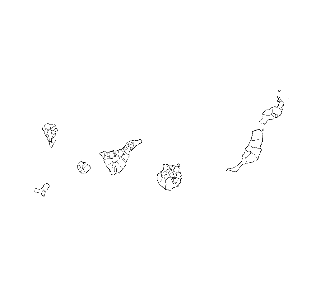
Plotting Canary islands shapefile
plot(shp.can)
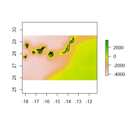
Plotting Digital Elevation Model
plot(elevation)
plot(shp.can, add=TRUE)
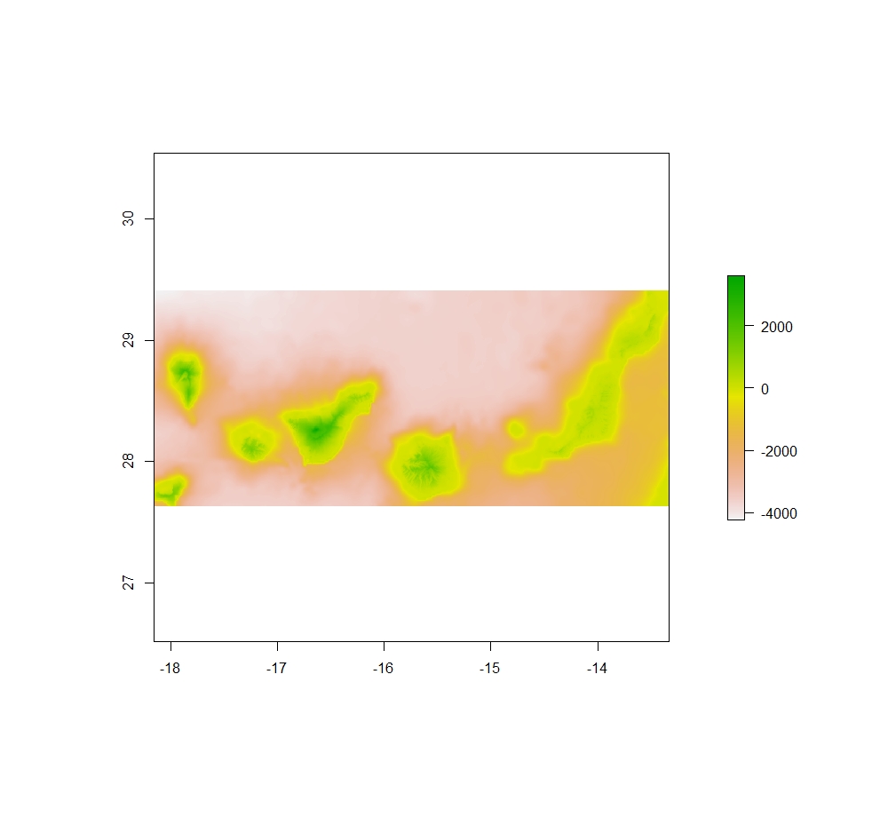
Now let’s see what we have come to see in this post.
Crop function
elev_crop <- crop(elevation, shp.can)
plot(elev_crop)
Mask function
elev_mask <- mask(elevation, shp.can)
plot(elev_mask)
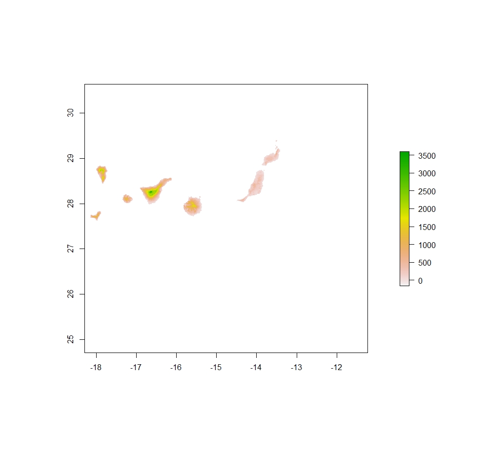
However, it is very important to emphasise that when working with large rasters the mask function is not well implemented and often takes a long time. Therefore, I always recommend using the crop function before the mask function.
elev_crop <- mask(crop(elevation,
                       shp.can),
                  shp.can)
I hope this advice will help you and that you won’t spend hours staring at your computer screen waiting for the mask function to run….
